


West Texas, United States
Mountains, Canyons, and Art
January 5, 2015
Up and down the road in our worn down shoes
Talking about good things and singing the blues
You went your way and I stayed behind
We both knew it was just a matter of time
- Stevie Ray Vaughan
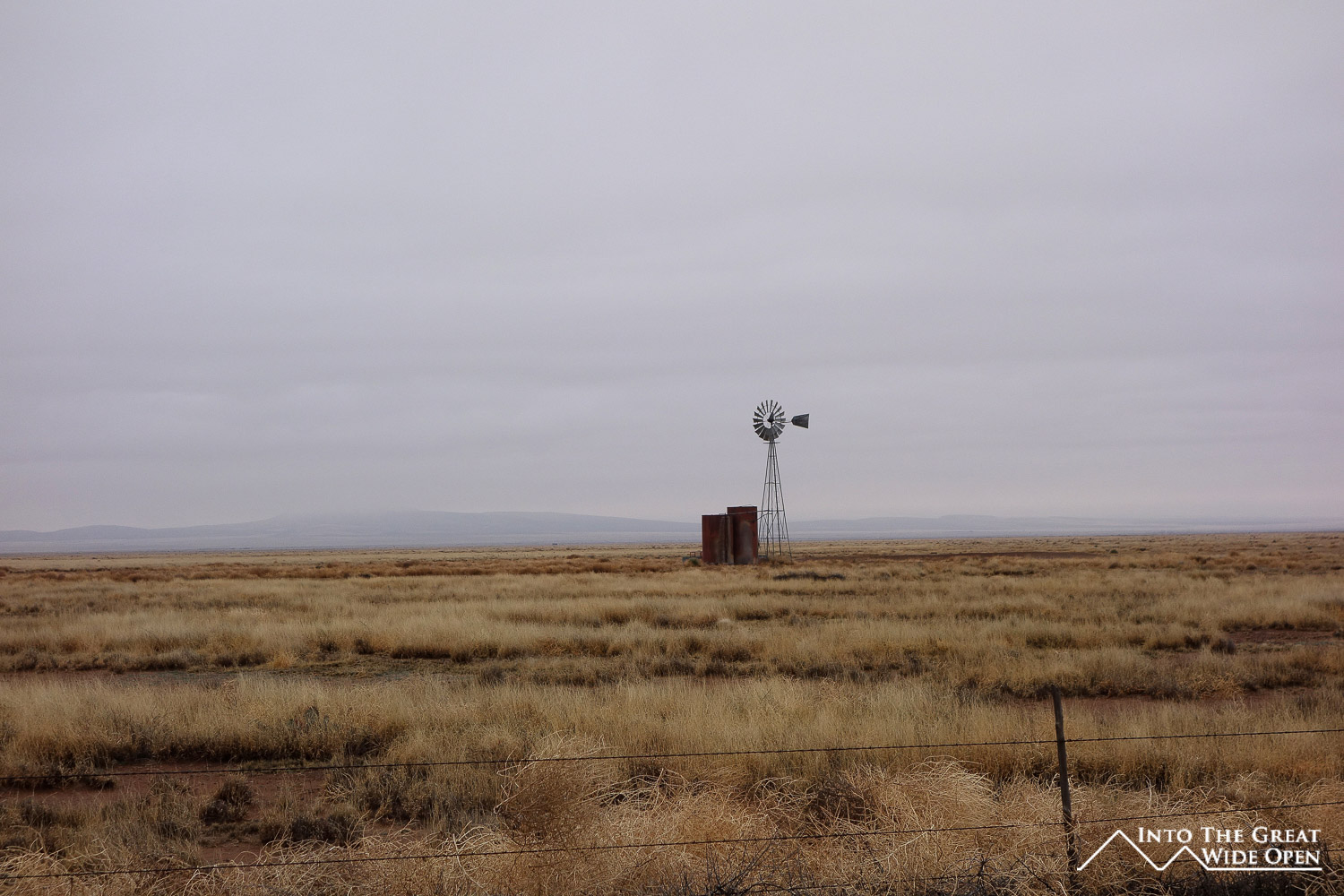
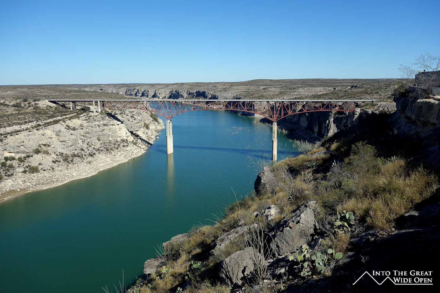
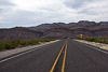
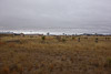
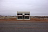
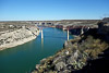
A little bit west of Del Rio civilization sort of disappears. There is a nice little lake at the Amistad National Recreation Area and beautiful scenic overlook as highway 90 crosses the Pecos River via a high-arching bridge, and then nothing. The next town is Sanderson, about 100 miles away. Parts of the road run pretty close to the Mexican border so there are the occasional US Border Patrol vehicles but not much other traffic. It’s probably even a stretch to call Sanderson a town although there a few distinct historic buildings. Onwards from Sanderson it is more than 50 miles to Marathon the next tiny town at the crossroads for one of the roads leading south to Big Bend National Park.
I drove west another 30 miles to Alpine, my first stop on this trip. Alpine was somewhat of an odd town. Despite its isolation it is home to Sul Ross State University and is little different from what you would expect in West Texas. The Saddle Club has surprisingly good food and is styled more in the manner of an old fashioned bar. And there is inexplicably a Chinese buffet near the Amtrak station, though it didn’t look very appetizing.
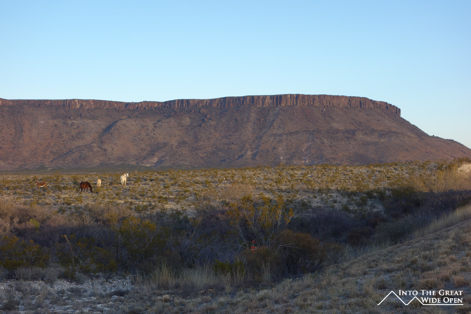
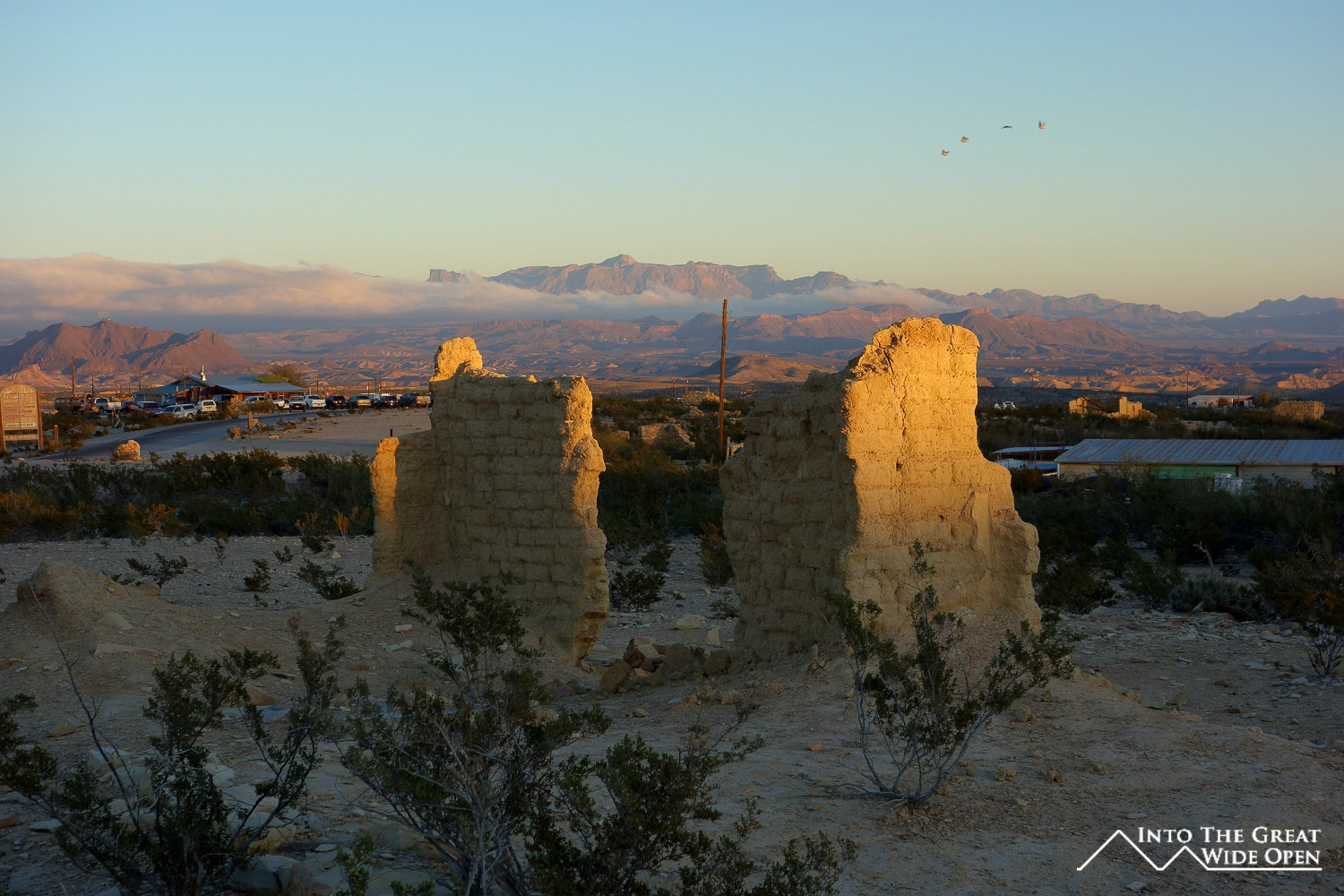
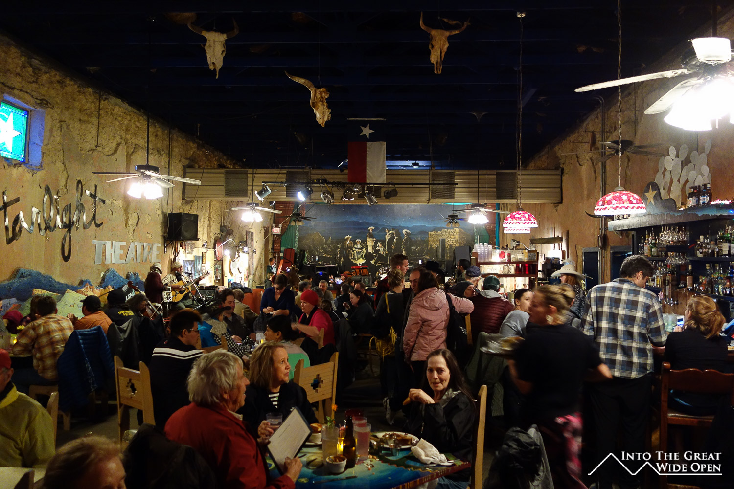
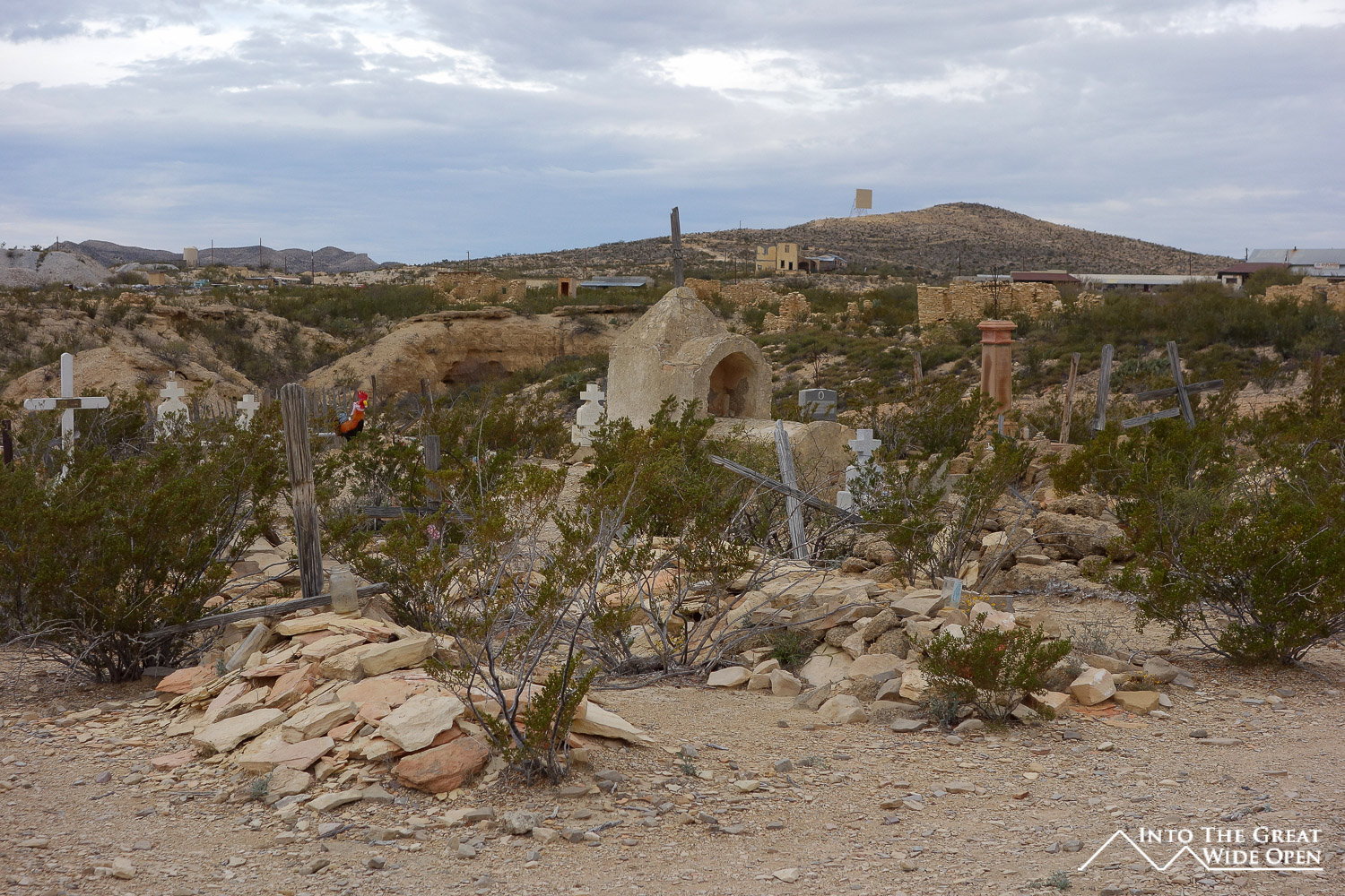
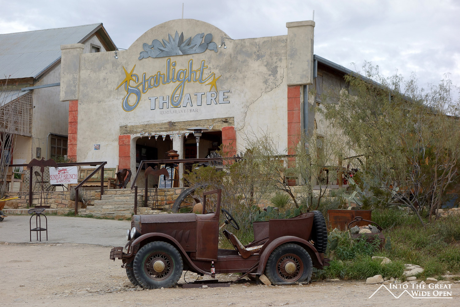
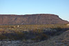
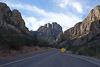
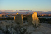
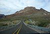
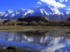
Traveling south from Alpine, route 118 leads through the desolation to Terlingua, a ragtag town near the western entrance to Big Bend National Park. Some ways out of Alpine and the rocky outlines of mountains and geological formations become visible. This is only a prelude to the much more spectacular vistas in the national park. Terlingua is exactly the kind of odd place you would expect to find in such splendid isolation. From the hilltop in Terlingua Ghost Town, a pseudo ghost town that is actually inhabited, the peaks of the Chisos Mountains are clearly visible. Terlingua offers a few restaurants and motels but other than the Starlight Theatre, a renovated old theater that is the most popular place in town, the options were mediocre at best. But at least the town is close to the national park, no other place can say the same.
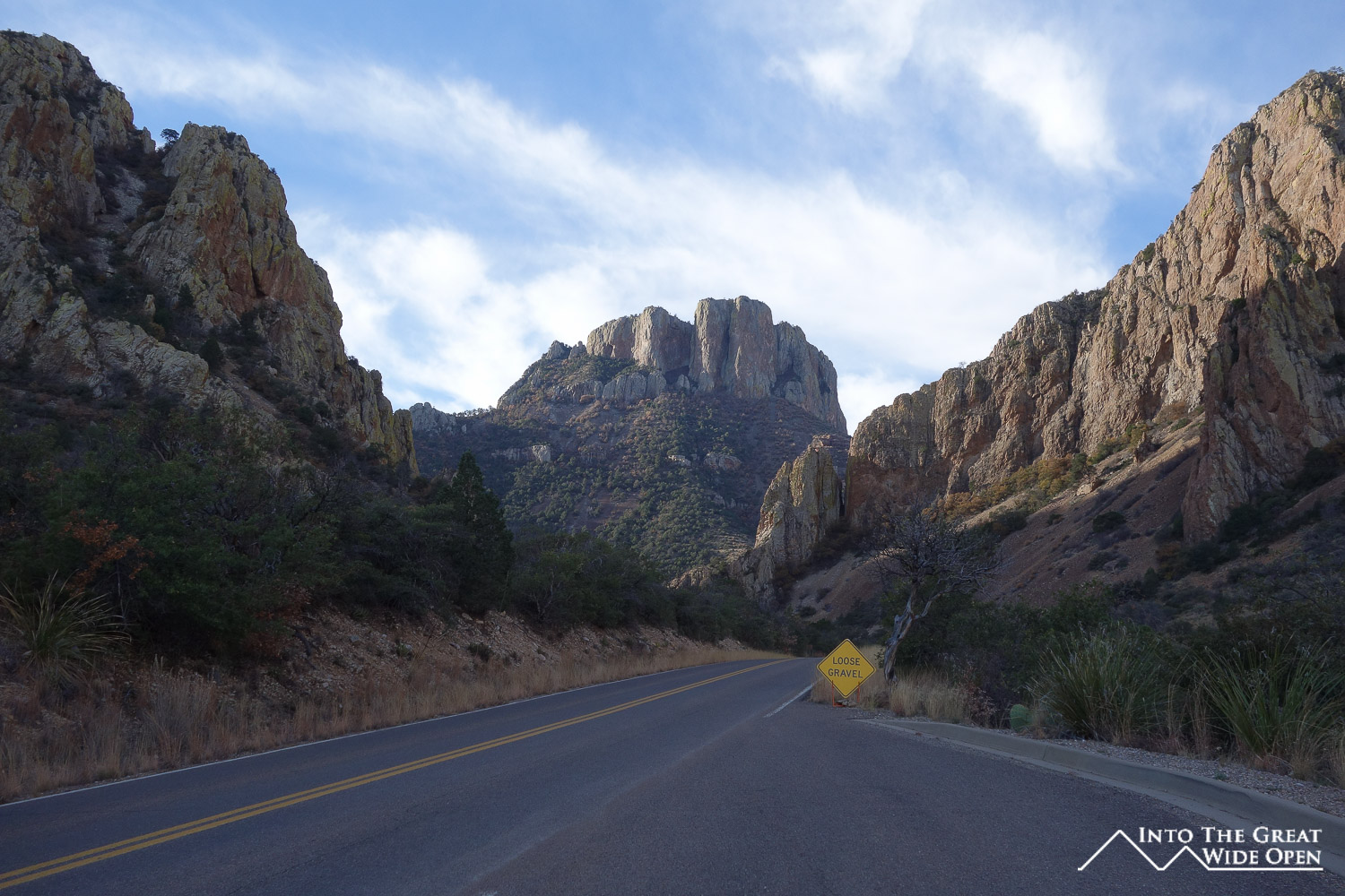
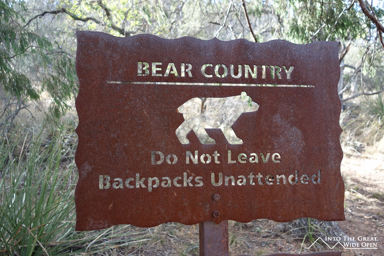
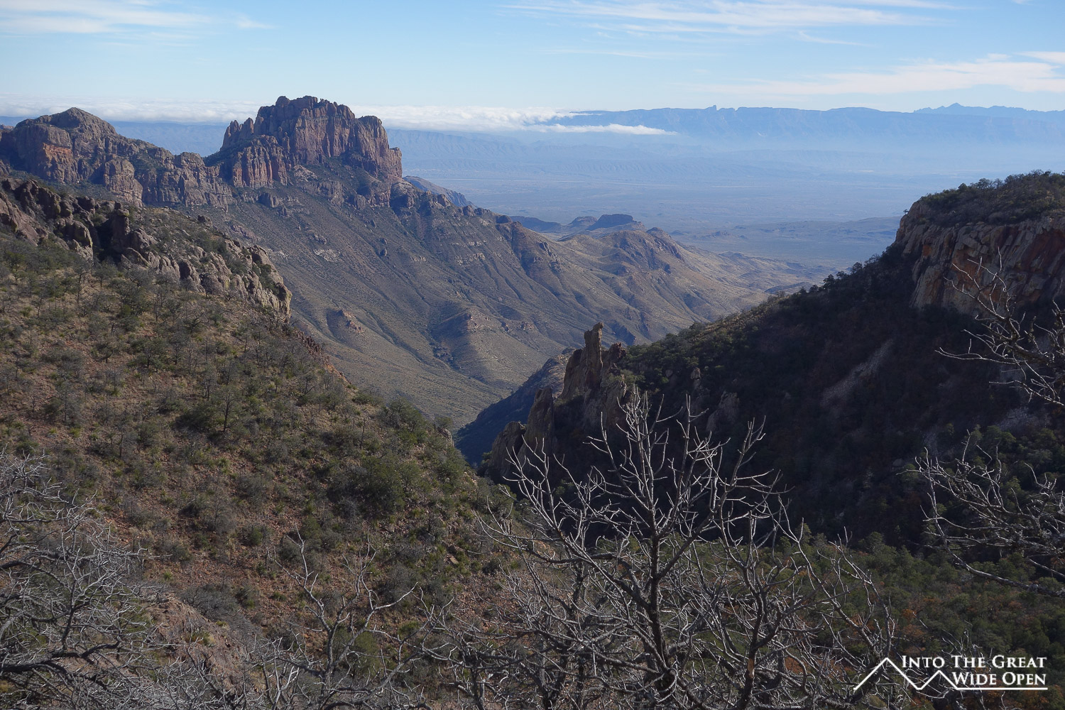
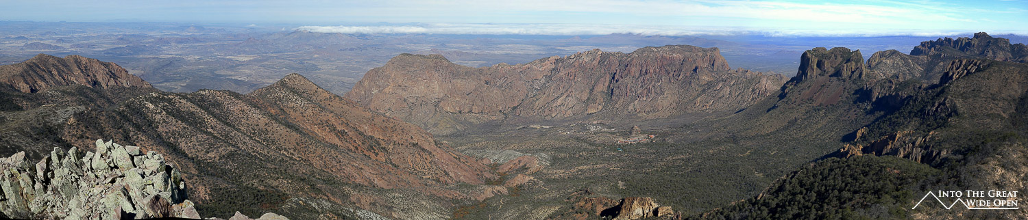
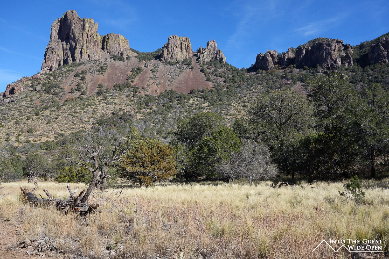
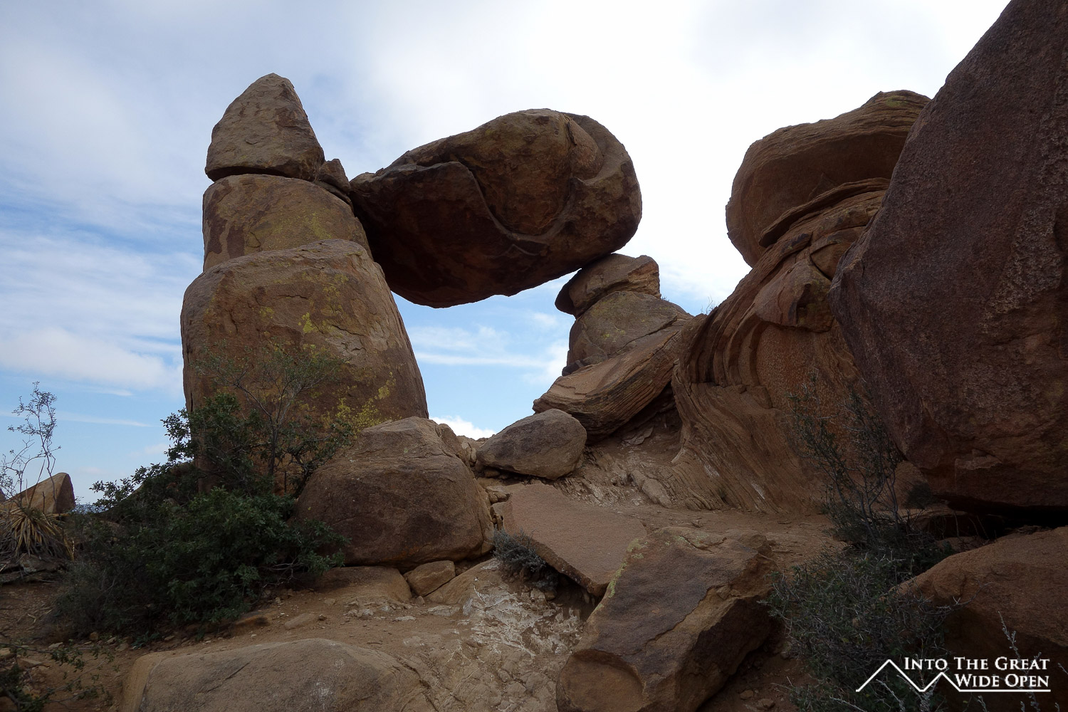
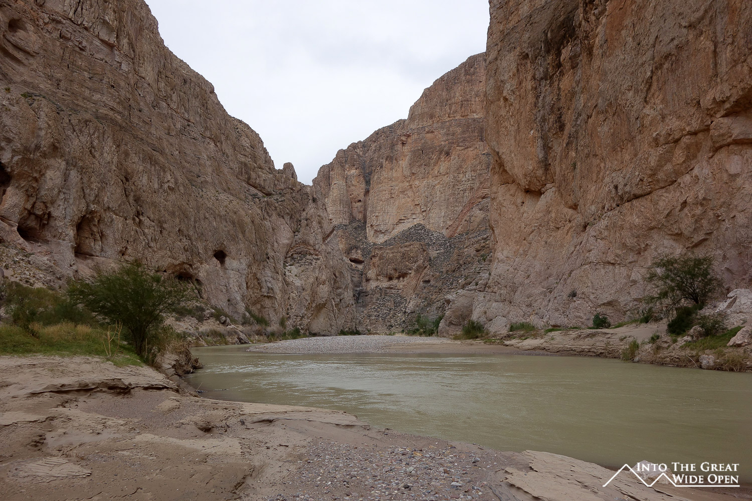
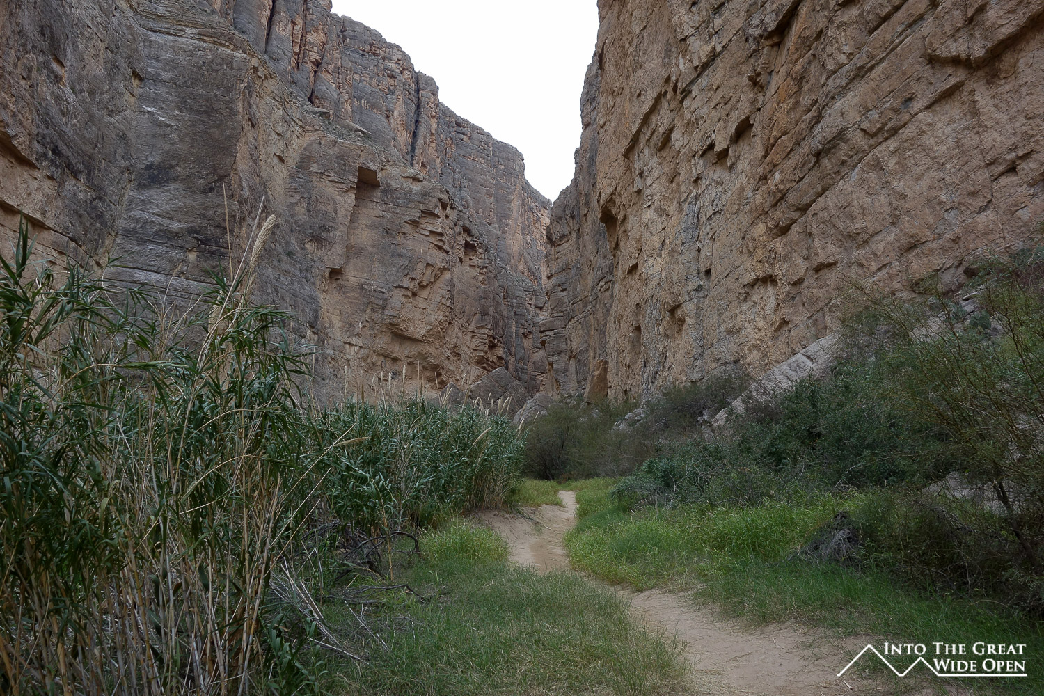
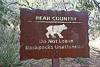
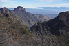
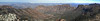
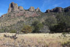
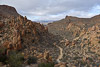
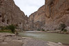
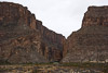
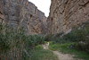
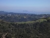
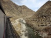
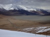
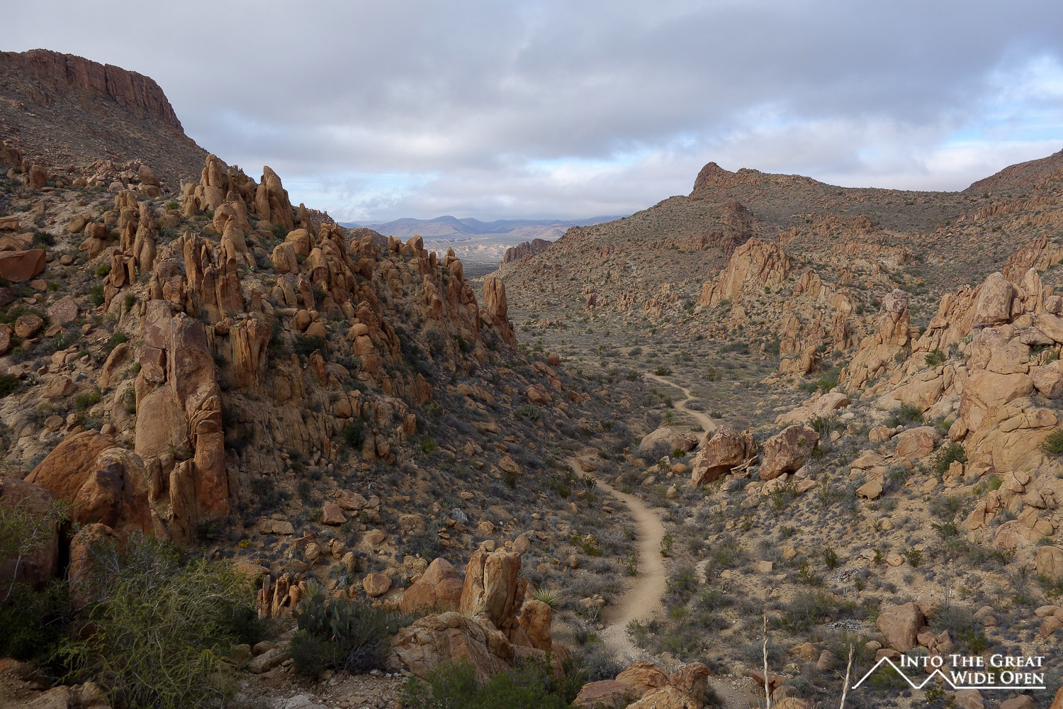
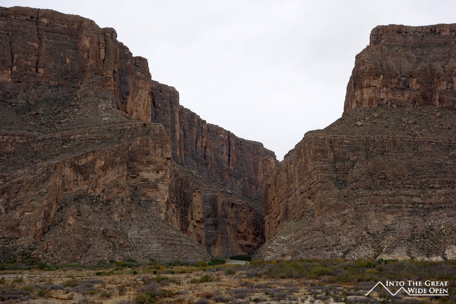
Big Bend National Park is spread out over a huge area and comprises a diverse range of ecosystems. There is a difference in elevation of 6,000 feet from the Rio Grande River to Emory Peak, the second highest point in Texas at 7,832 feet. I hiked the trail to the top of Emory Peak, around 10 miles round-trip, and was rewarded with sweeping views of the park with the reddish brown rocky landscape stretching to the horizon. From the upper reaches of the trail the Chisos Basin Lodge and Visitor Center looked like tiny models. At a lower elevation I hiked through the boulder strewn path of the Grapevine Hills trail to see the Balanced Rock, a fallen boulder that has wedged itself in between two rocks forming a small window.
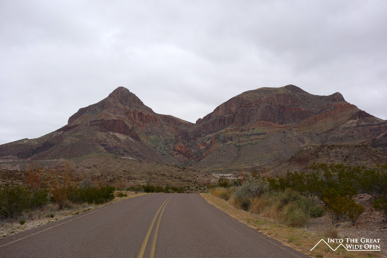
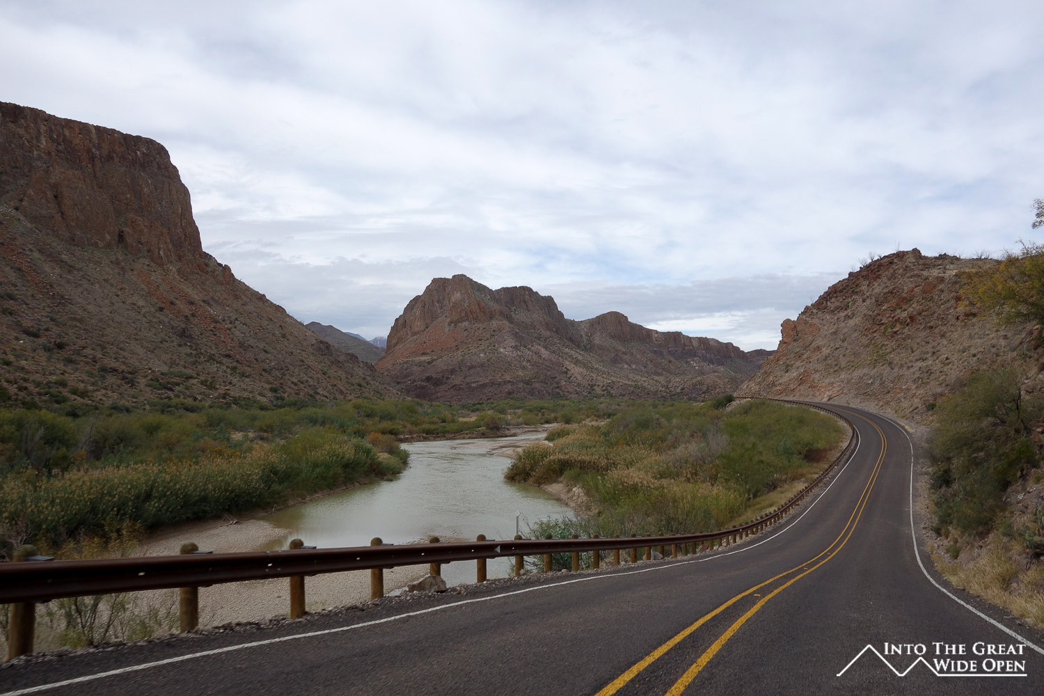
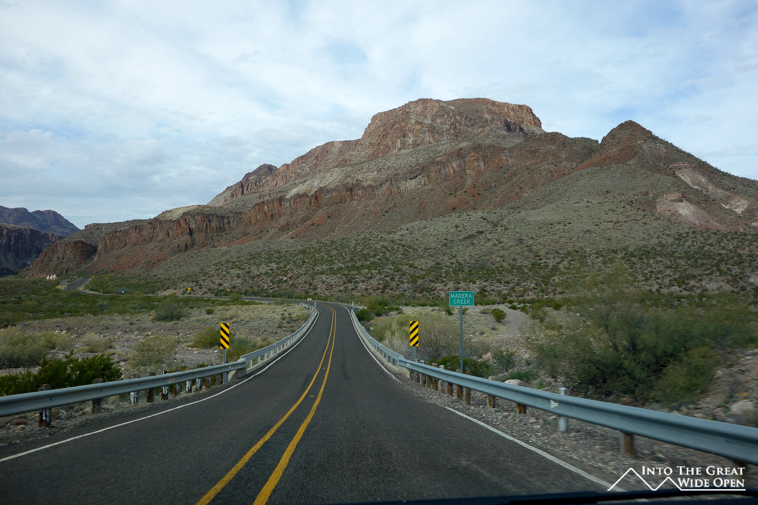
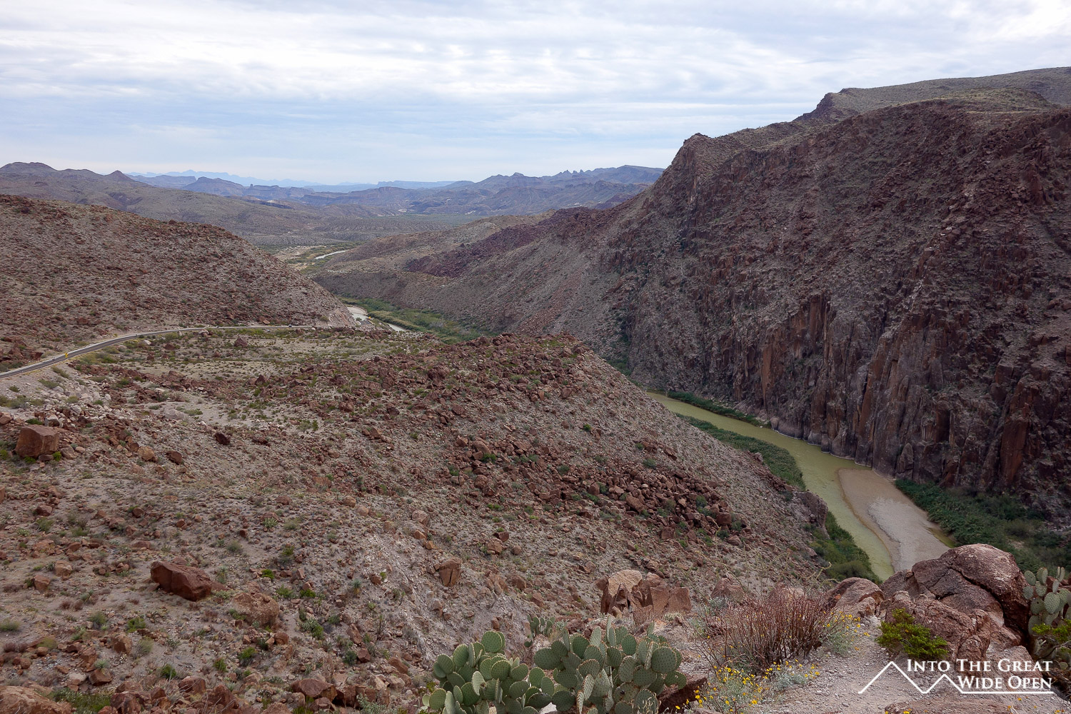
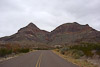
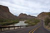
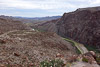
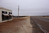
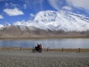
I continued west on route 170, a spectacular road that winds along the edges of canyons and through Big Bend Ranch State Park. Some of the views from this road were better than any in the national park. Despite the cold weather there were a few other vehicles on the road, including a group of motorcyclists who must have been freezing with the high wind speeds. Route 170 ends in Presidio, a depressed border town that has clearly seen better days, as the number of closed businesses and general disrepair attest to.
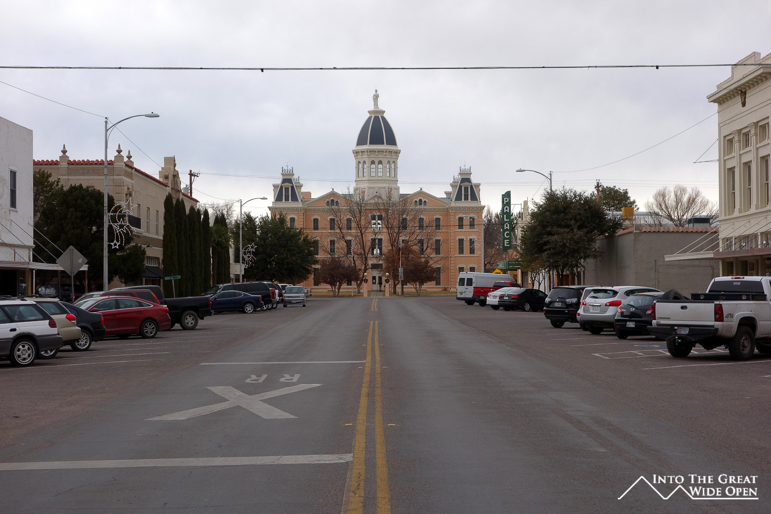
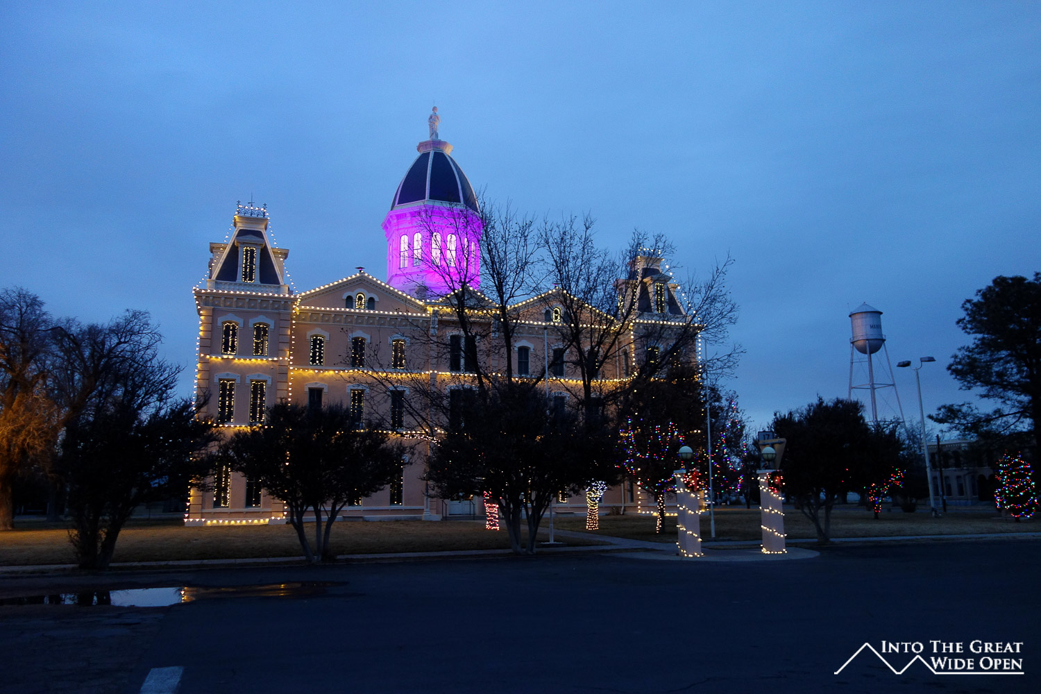
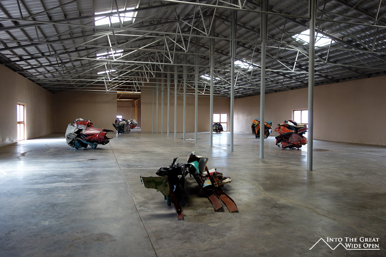
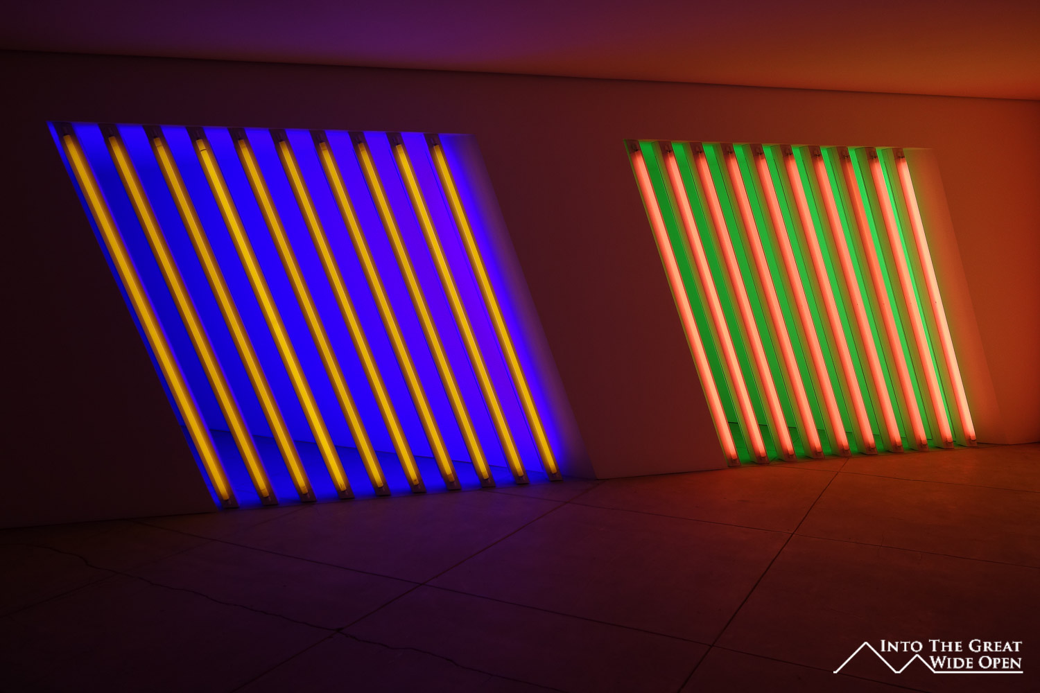
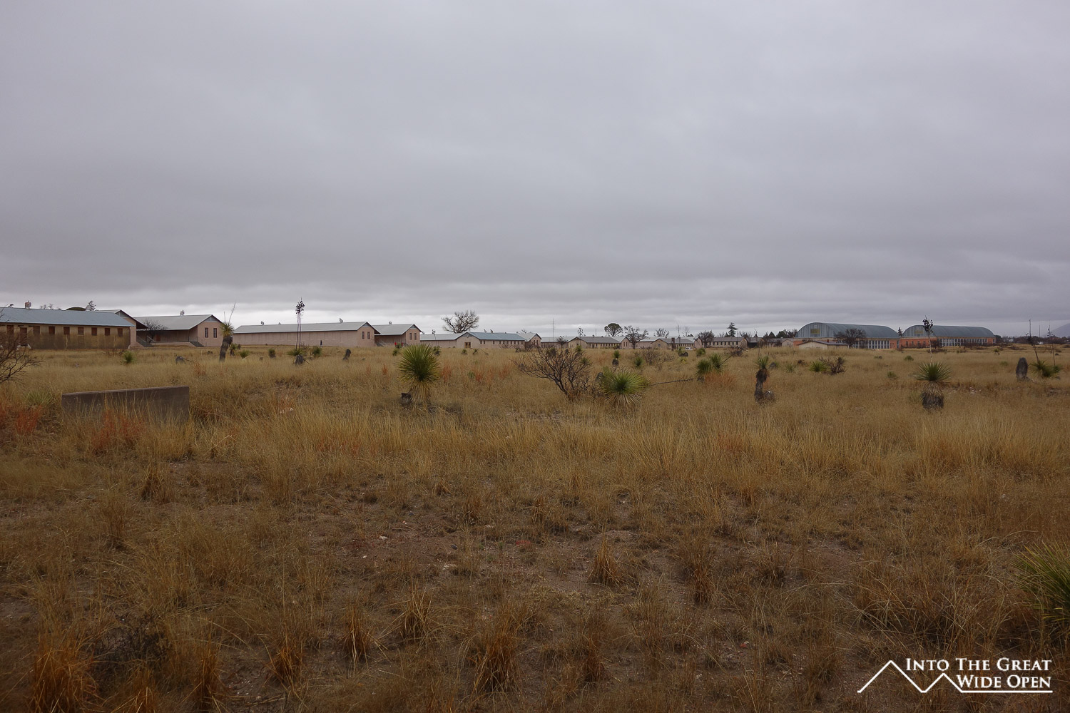
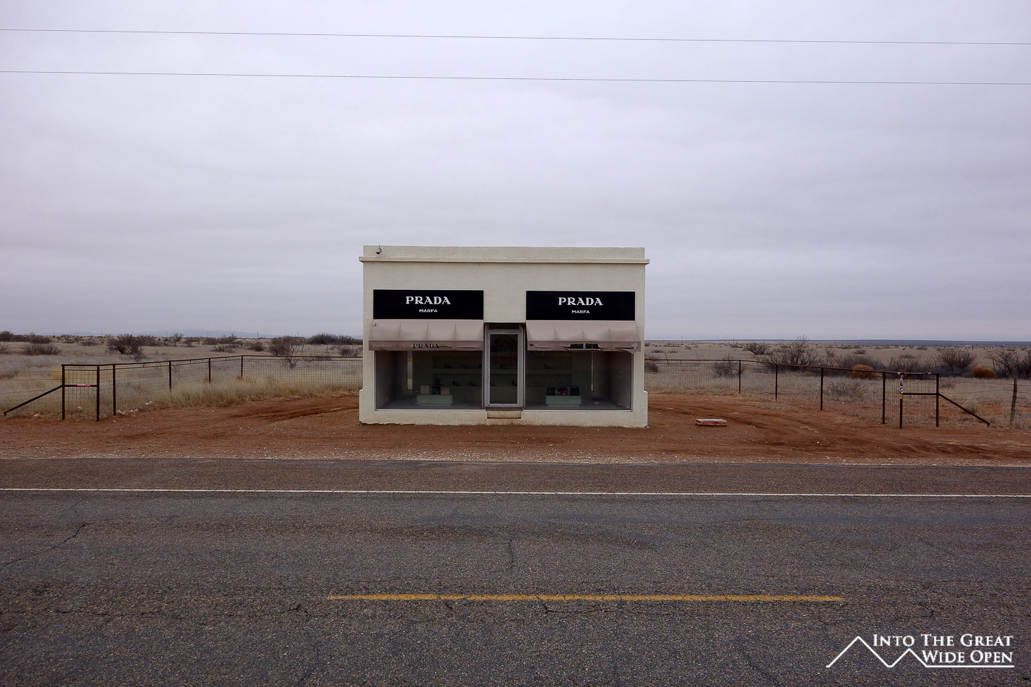
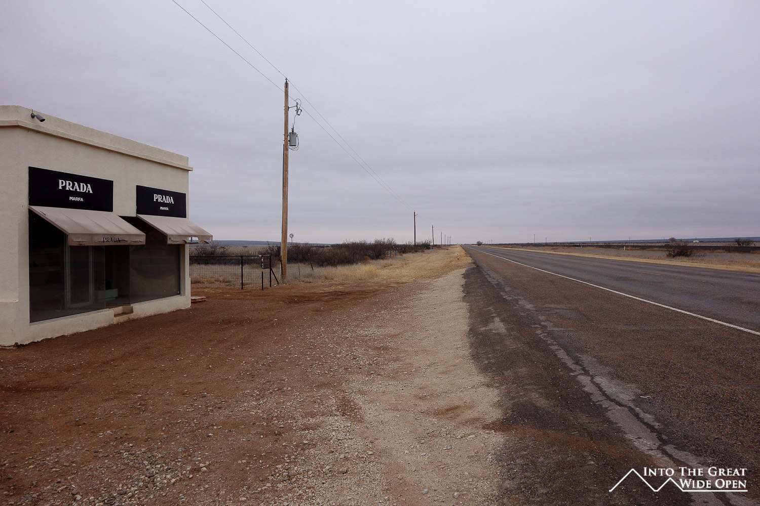
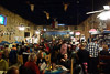
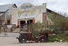
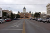
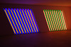
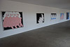
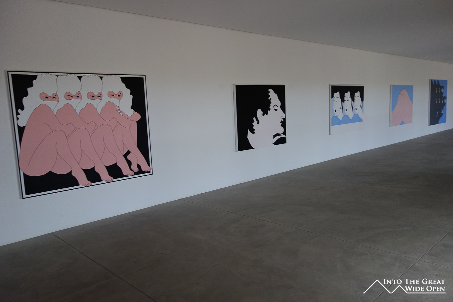
To the north of Presidio, about 60 miles, is Marfa. A dramatically different town, Marfa has emerged as a stylish art and culture haven in the midst of the emptiness of West Texas. It is home to the Chinati Foundation an eclectic art museum spread out over an assortment of buildings on a former US military base. The art ranges from paintings to sculptures to lighting displays to oddities like a recreated Soviet schoolhouse. It is the kind of art that not everyone appreciates and after my visit I think that some it certainly escaped me. Marfa also has a thriving food scene with several highly ranked restaurants and famous food trucks. I was unlucky yet again with the timing of my visit around New Year’s Day and the rainy weather conspiring to close many businesses. I couldn’t even see the infamous Marfa Lights due to cloud cover, or because they are not real; maybe I’ll never know. As if Marfa weren’t isolated enough, about 30 miles west of Marfa there is an iconic artistic installation of Prada store in the middle of nowhere. The shabby and ragged appearance of this fake luxury goods store was comical and absolutely unique.
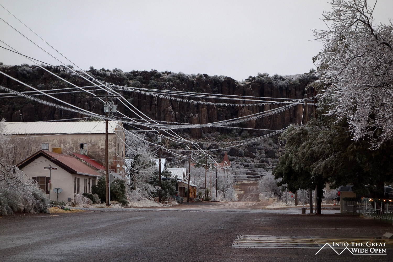
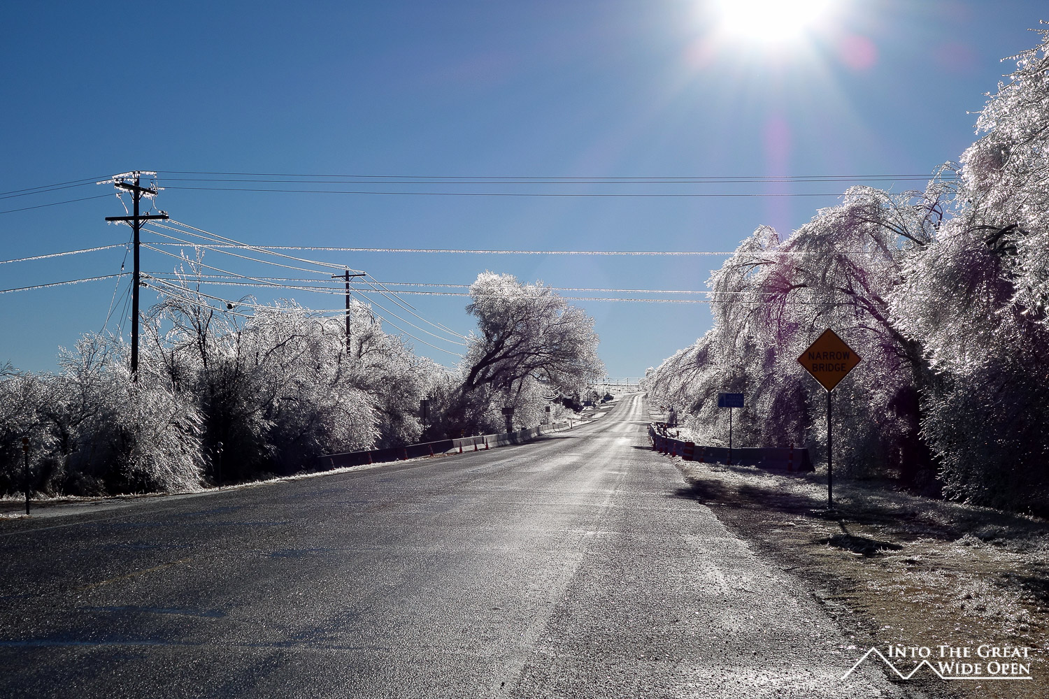
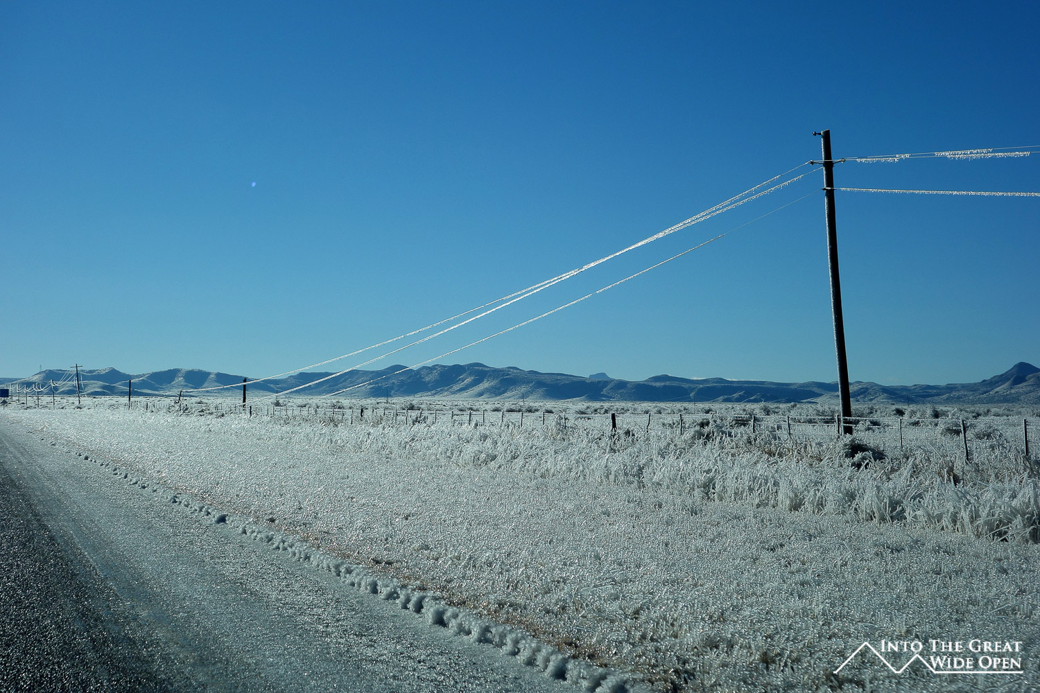
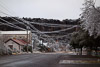
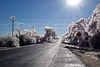
My last stop on this brief tour of West Texas was supposed to be the McDonald Observatory in Fort Davis. Being in such splendid isolation this area is known for its dark skies and excellent star gazing. The weather again became a factor here as the severity of the ice storm made travel treacherous and closed the observatory the day of my planned visit. Even had it been open the cloudy skies would have been inopportune for seeing the stars. The next morning, after the ice storm had passed, the scenery was surreal. A layer of ice coated every surface and shone brilliantly under the morning sun. The thick layers of ice had collapse many trees and even snapped a few telephone poles, knocking out power to many of the towns. This was on top of an existing gas shortage that had resulted from icy roads blocking resupplies from interstate 10. Fortunately, I had filled up on premium gas, the only gas remaining, in Fort Davis so I was able to drive the 230 miles to Del Rio without having to stop for gas. It is situations like that, when you realize that despite the reach of civilization, there are still limits and it is places like this in West Texas that push those limits.