Karakoram Highway, China
The Road to Pakistan
May 3, 2012
Into the great wide open
Under them skies of blue
Out in the great wide open
A rebel without a clue
- Tom Petty
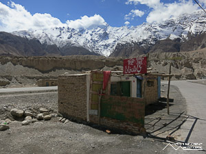
From Kashgar the Karakoram Highway sweeps south for 1300 kilometers, connecting China with Pakistan. I have been on many spectacular roads but I have to say that this is undoubtedly one of the finest. Lacking a visa for Pakistan I was not able to see the scenery on the Pakistani side of the border but based on what I have seen on the Chinese side I will add that to my list of future destinations, perhaps when the political turmoil subsides. For now I had to settle with traveling the 500 kilometers to the Khunerjab Pass on the border with Pakistan with 5 medical students from Taiwan whom I met at my hotel.
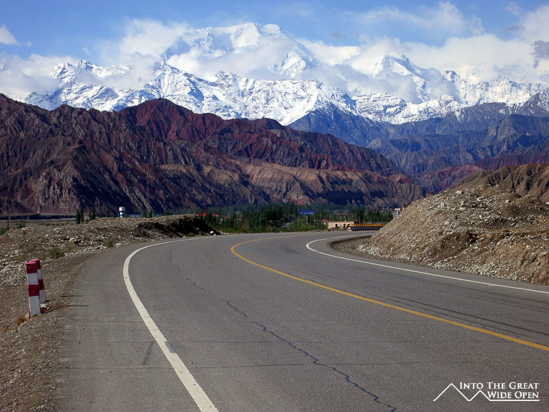
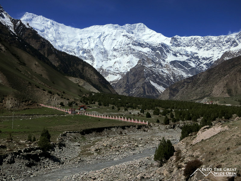
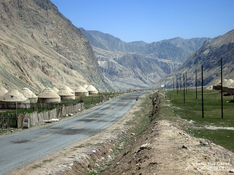
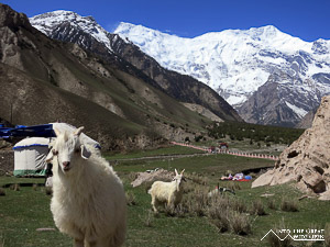
The Karakoram Highway (KKH) seemingly passes through all the major climate zones. It begins in the dusty desert landscapes outside of Kashgar where the road passes through canyons lined with different colored rocks, from bright red to purple to brown to gray. A road through a side canyon of the KKH leads through traditional villages to the base of a towering snow covered mountain in a charming and isolated alpine valley. Since this is China you have to pay a fee to enter the touristy area at the base of the mountain so many people stop short of the artificial Chinese gate and walls to take pictures at an overlook. The pine trees, goats, and flowing river give you the sense of being in Switzerland, as my Taiwanese companions said.
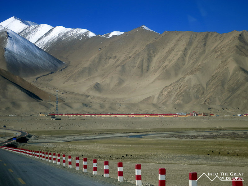
After a brief stop there we returned to the main road as it climbs slowly through the desert scenery and winds along a broad river bed of murky gray water carrying the dry dust of the surrounding rocks downstream. Past the first police checkpoint, where passports and ID cards are verified, a wall of mountains is conquered via a series of steep switchbacks. On the other side of the pass a broad valley opens up with high sand dunes piled against even taller mountains. The wind whips across this desolate plain, constantly shifting the sand dunes so that the landscape is forever changing.
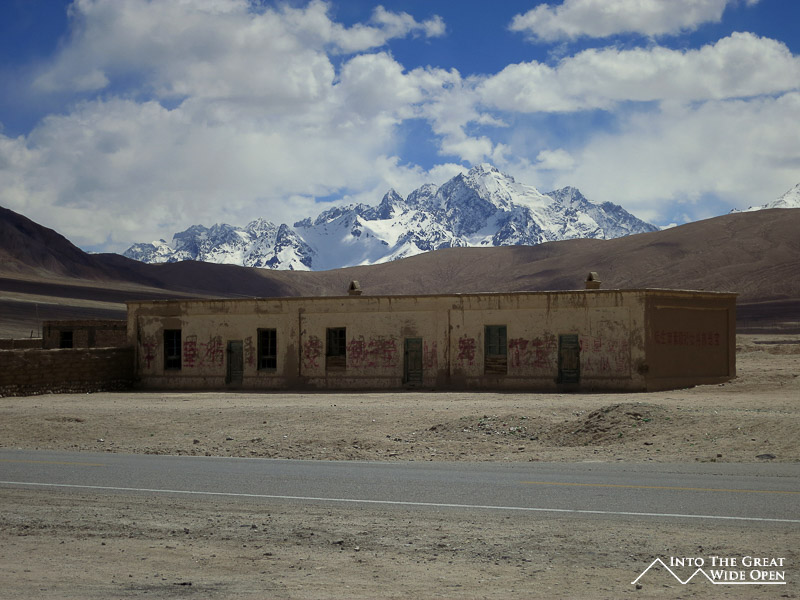
Amidst all this isolation there are clusters of small buildings and people wandering the fields tending to their animals, a mix of cows, sheep, goats, and dzus (dzi?), a domesticated cross between cows and yaks. Strangely, the harsh landscape is littered with abandoned buildings and things that seem strangely out of place in such an empty an area, like large police or military buildings and multi-story construction projects that could hardly have a practical reason for existing. The inroads of technology are readily visible in the form of cellular towers along the way that provide service despite the isolation. Incongruous solar panels on top of traditional mud brick houses illustrate the dictionary definition of an anachronism to the letter.
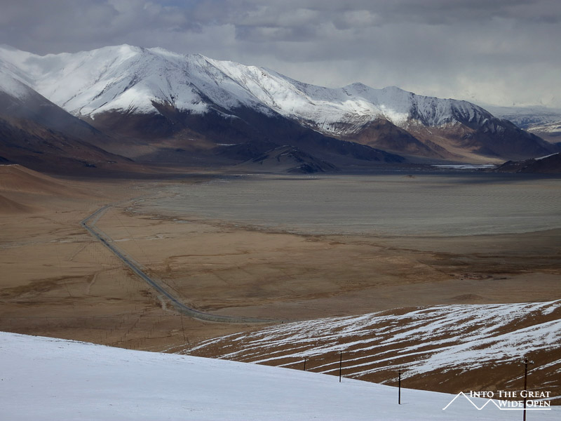
As the road winds south it comes within 20 miles of Tajikistan and about 50 miles of a remote corner of Afghanistan to the west. From a desolate valley the road climbs steeply through another series of treacherous switchbacks up to a stunningly high mountain pass that marks the beginning of Tajik Autonomous County. The sweeping panoramic views from the top of this pass are breathtaking and give you a sense of the truly vast scale and emptiness of your surroundings.
The road continues on to Tashkurgan, the regional capital, past which there is another police and military checkpoint where they hold your passport in exchange for a free permit to travel to the border. South of Tashkurgan the road travels across an empty plain before passing one final village, Pirali, after which nearly all traffic peters out. Not long afterwards the road begins its final ascent towards the Khunerjab Pass and the Pakistani border.
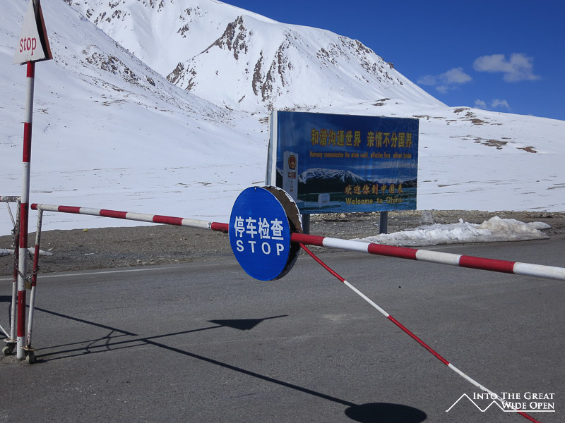
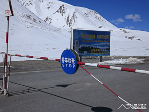
At an altitude of 4650 meters (15,250 feet) we reached a military checkpoint on a snow covered mountainside. The soldiers manning the checkpoint told us that due to conflict in Pakistan the border was closed for the day and we could not go any further. It turns out that the evening before a suicide bomber in northwestern Pakistan ran into a group of paramilitary members and detonated a bomb, killing himself and 20 other people. Because of this incident over 500 miles away the China-Pakistan border was closed. I never would have thought that my life would have been directly affected by a suicide bomber in Pakistan but I suppose the world is a small place after all.
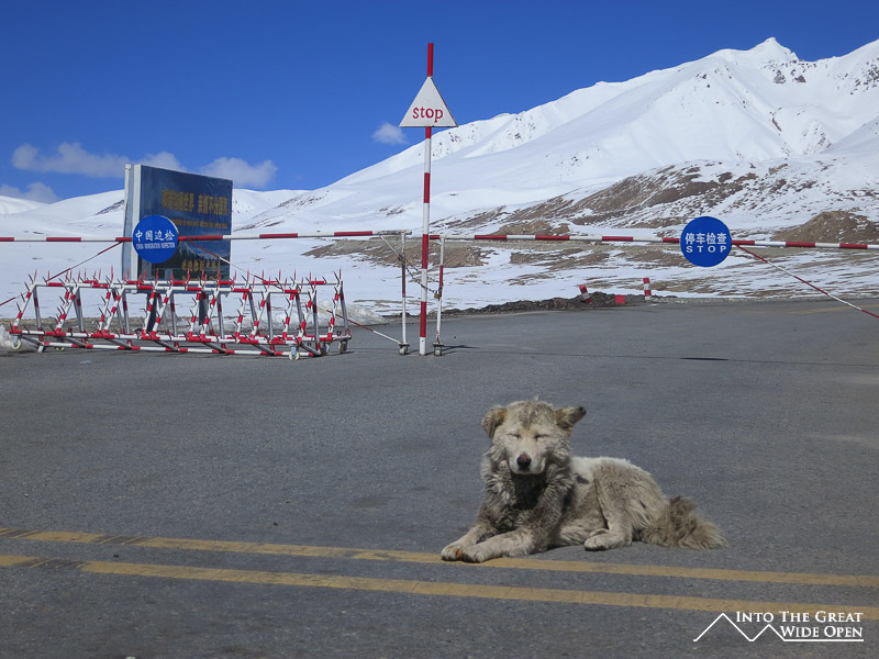
It was disappointing to not reach the border but we came very close, perhaps within a mile or less. The soldiers went inside and left us alone at the peaceful checkpoint. On the other side of the gate there was a sign which says, in probably a poor English translation, “Harmony communicates the whole world, affection lives without borders.” Clearly the Chinese with their stringent border controls do not understand the irony of this statement. Even though China is supposed to have good relations with Pakistan the tumultuous events in its neighboring country seemingly spread beyond borders, even here, a world apart in such remote isolation. With a closed border and no traffic, a lone dog settled down in the sun in the middle of the road, a calm guardian of the magnificent highway and perhaps a sign of more peaceful times to come.
